Descrizione
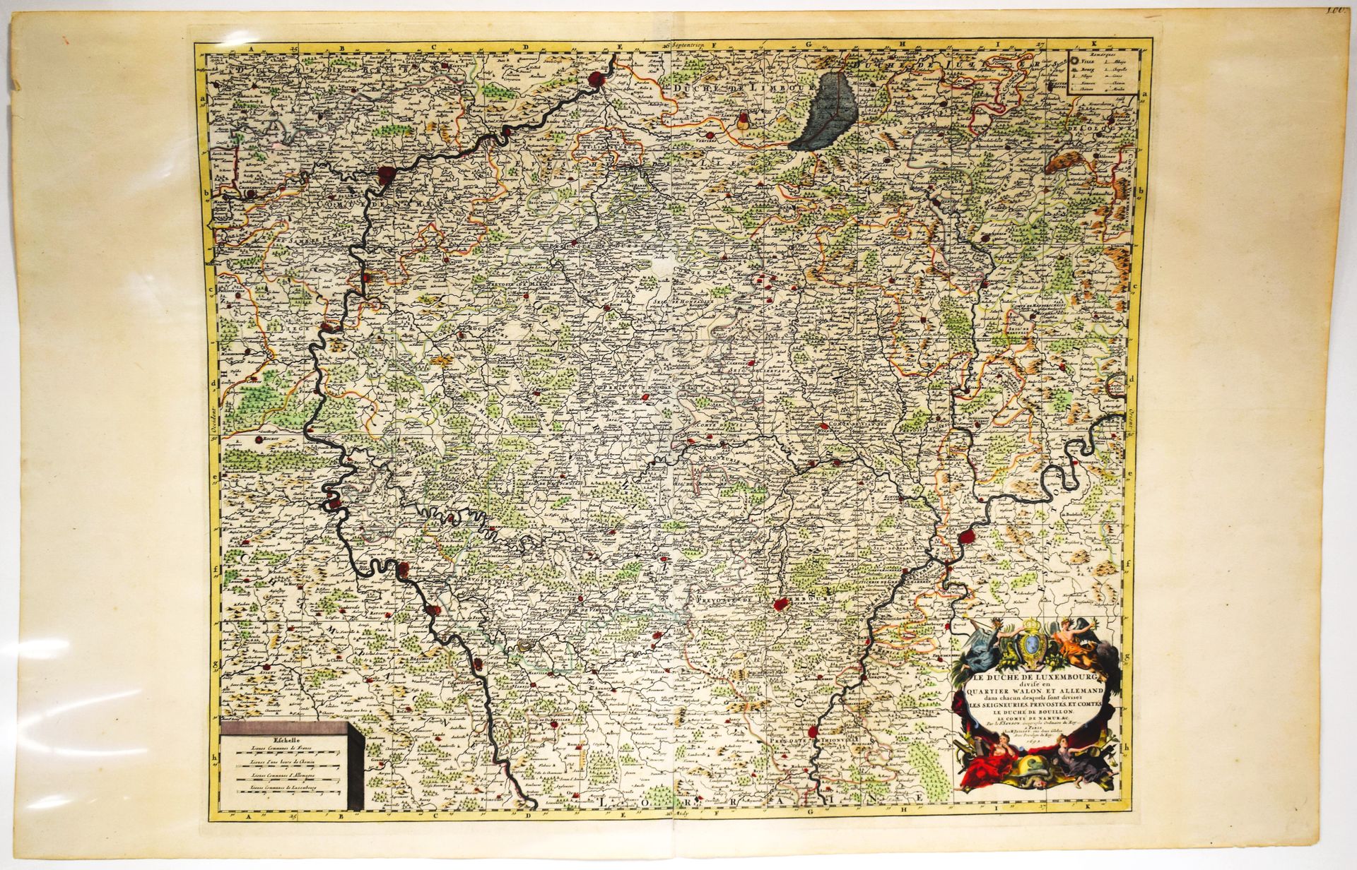
(MAPPA) Carta geografica antica del "Duché de Luxembourg Divisé en Quartier Walon et Allemand (...)", di Nicolas SANSON pubblicata da Jaillot, 1692, bella copia acquerellata d'epoca con margini molto ampi, 62,5 x 96 cm [Van Der Vekene - Les cartes géographiques du Duché de Luxembourg - 2.33.A].
434
(MAPPA) Carta geografica antica del "Duché de Luxembourg Divisé en Quartier Walon et Allemand (...)", di Nicolas SANSON pubblicata da Jaillot, 1692, bella copia acquerellata d'epoca con margini molto ampi, 62,5 x 96 cm [Van Der Vekene - Les cartes géographiques du Duché de Luxembourg - 2.33.A].
Forse ti piacerebbe anche