Descrizione
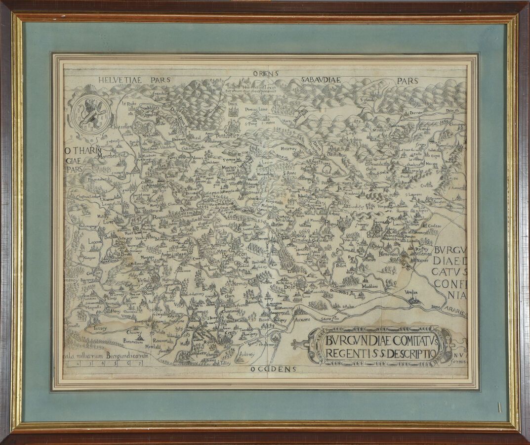
Edizioni di Nicolas van AELST (XVI secolo) Rara carta della Franca Contea Incisione in rame. Bella prova su carta vergata, a vista: 36 x 46 cm.
450
Edizioni di Nicolas van AELST (XVI secolo) Rara carta della Franca Contea Incisione in rame. Bella prova su carta vergata, a vista: 36 x 46 cm.
Forse ti piacerebbe anche