Descrizione
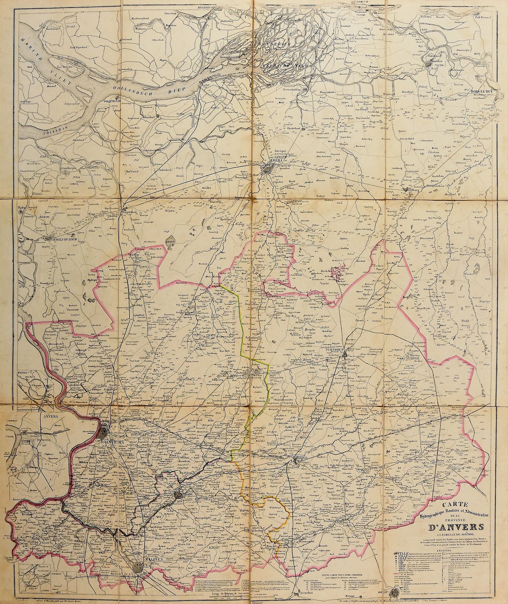
9 grandi mappe delle province. Bruxelles Établissement géographique de Bruxelles founded by Ph. Van der Maelen [1852-1861] Lith. various sizes (83 x 100 cm or smaller), part. coloured, mounted on cloth (sm. defects). Atlas hydrographique, routier et administratif des neuf provinces de la Belgique di Ph. Vandermaelen, con strade, ferrovie, canali, fiumi, torrenti e un gran numero di punti di livellamento. Rif. Silvestre, M.; Fincoeur, M.-B. - Inventaire raisonné des collections cartographiques Vandermaelen I, 36.
543
9 grandi mappe delle province. Bruxelles Établissement géographique de Bruxelles founded by Ph. Van der Maelen [1852-1861] Lith. various sizes (83 x 100 cm or smaller), part. coloured, mounted on cloth (sm. defects). Atlas hydrographique, routier et administratif des neuf provinces de la Belgique di Ph. Vandermaelen, con strade, ferrovie, canali, fiumi, torrenti e un gran numero di punti di livellamento. Rif. Silvestre, M.; Fincoeur, M.-B. - Inventaire raisonné des collections cartographiques Vandermaelen I, 36.