541
Online
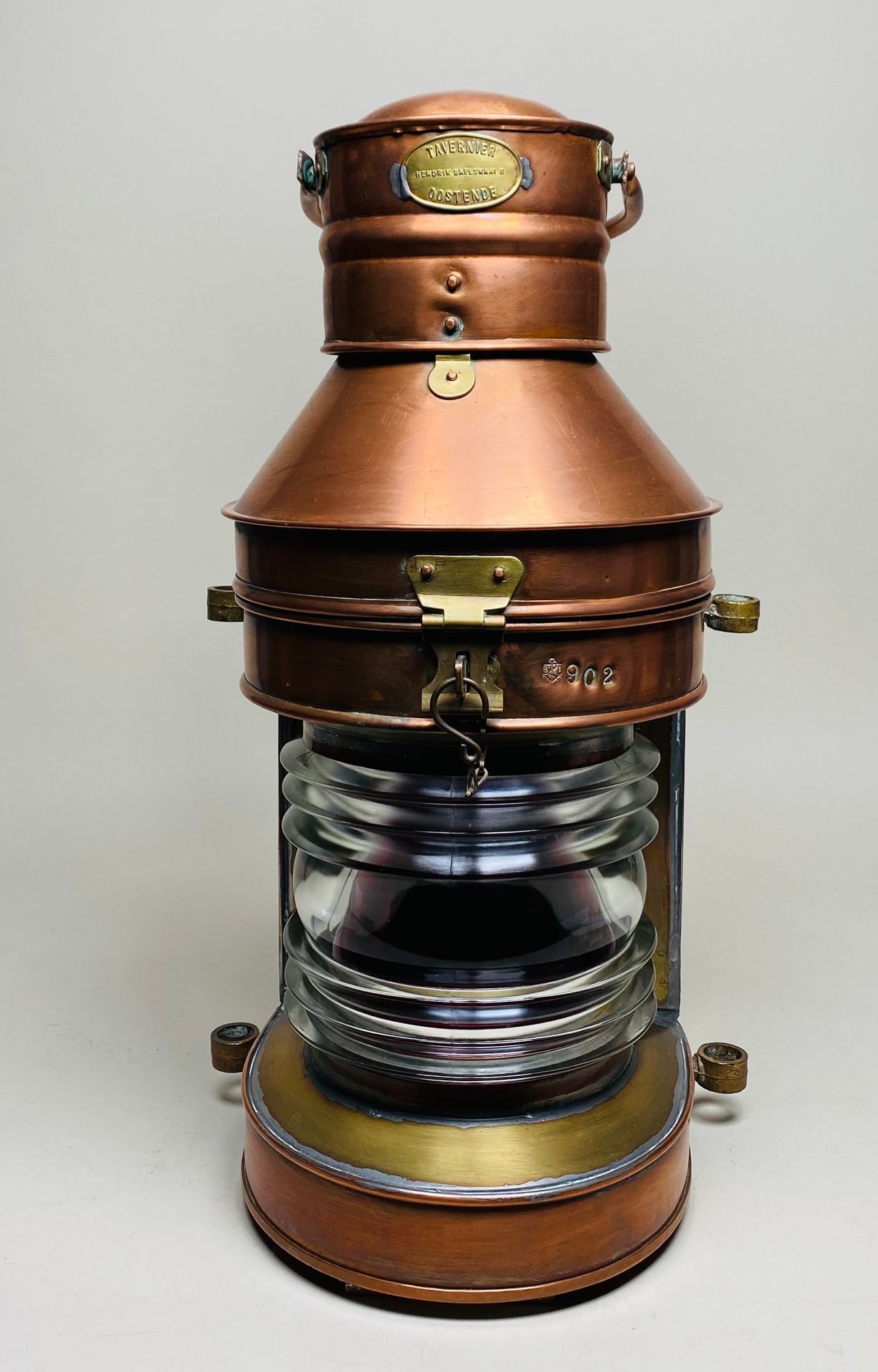
Rame rosso. Altezza: 50 cm
Forse ti piacerebbe anche