Description
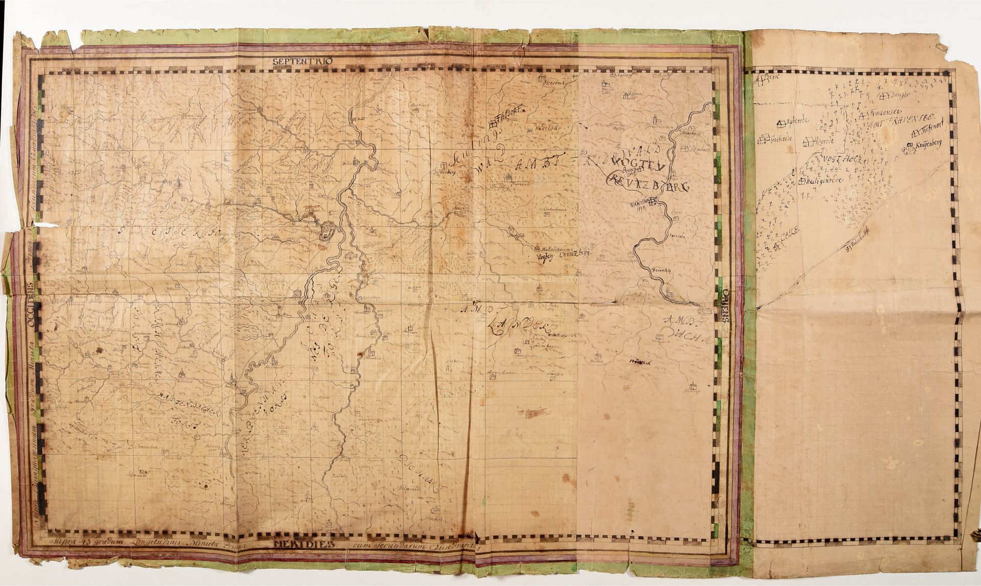
Regional map of part of the district Hersfeld-Rotenburg. 18th c. (?) Drawing, pen and brown ink, watercolour, on paper, 62,5 x 110 cm (very browned and used). With the hilly landscape between the rivers Fulda and Haune, incl. Bad Hersfeld, Kerspenhausen, Oberhaun, Ober-Wegfurth, Matzenbacher Wald, Mengshausen, Wolfershausen, Vogtei Kreuzberg (Philippsthal), etc.
503
Regional map of part of the district Hersfeld-Rotenburg. 18th c. (?) Drawing, pen and brown ink, watercolour, on paper, 62,5 x 110 cm (very browned and used). With the hilly landscape between the rivers Fulda and Haune, incl. Bad Hersfeld, Kerspenhausen, Oberhaun, Ober-Wegfurth, Matzenbacher Wald, Mengshausen, Wolfershausen, Vogtei Kreuzberg (Philippsthal), etc.