Lairesse, Gerard de
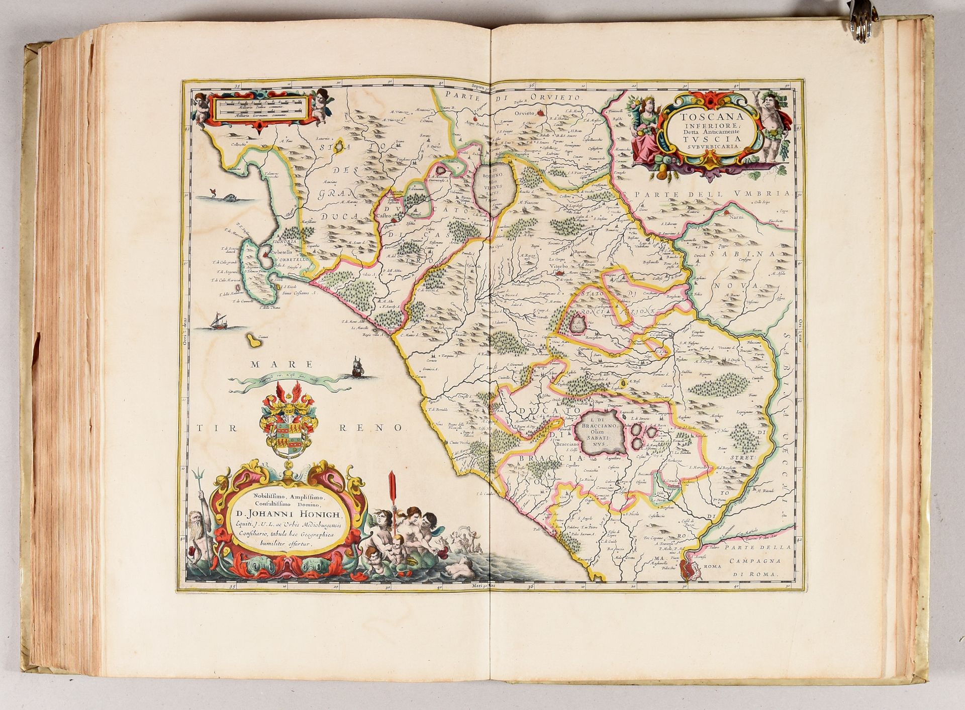
Atlas assembled to order containing 92 maps of Europe. 17th-18th c Folio: [4 incl. engr. title] pp.; 92 maps of which 58 hand-coloured (typogr. title spotted, some sm. stains on 1 map, few items sl. soiled or browned, 1 map creased, sm. tears in 2 folds, very rare spotting). Maps overall in very good condition. Contemp. vellum, flat spine (sl. used, front flyleaves renewed). Composite atlas containing letterpress and engr. title (by G. de Lairesse) extracted from the “Atlas minor […]” by Nicolaes Visscher. Most maps by N. Visscher, E.H. Fricx or F. de Wit; some by C. Allard (2), H. Allardt (2), A. Penez (1), Sanson (5), N. Ten Have (1), A. Van Heurdt (1) and some anonymous. Depicting: Low Countries (42) in its various political appearances, Central Europe (22, a.o. Holy Roman Empire, Swiss, Austria, Hungary, etc.), the Mediterranean (12), British Isles (8), Scandinavia (3), France (3), Russia (1) and Poland (1). Published by Wolfgang, Allard, de Wit, I. Danckaerts, J. Robyn, P. Mortier, Visscher, E.H. Fricx, J.B. Homann and H. Jaillot; some anonymous. Huge collection with 22 folding maps (of which 12 with large alphabetical register) and 58 hand-coloured. Detailed list on request. Ref. Cp. Koeman C&M 17 and Fri 1.