Description
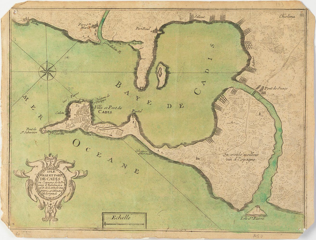
Map of Cadiz by NICOLAS DE FER; France, late 19th century. It has damp stains, dirt, cracks and wrinkles on the paper. Measurements: 22 x 30 cm. Map published in France in the 19th century, which is based on the cartographic representation of Nicolas de Fer (France, 1646-1720). De Fer was an important French geographer and cartographer of the end of the 17th century. He created some 600 maps, which earned him the recognition of the specialised public and led to his appointment as the King's Geographer.
166
Map of Cadiz by NICOLAS DE FER; France, late 19th century. It has damp stains, dirt, cracks and wrinkles on the paper. Measurements: 22 x 30 cm. Map published in France in the 19th century, which is based on the cartographic representation of Nicolas de Fer (France, 1646-1720). De Fer was an important French geographer and cartographer of the end of the 17th century. He created some 600 maps, which earned him the recognition of the specialised public and led to his appointment as the King's Geographer.