Description
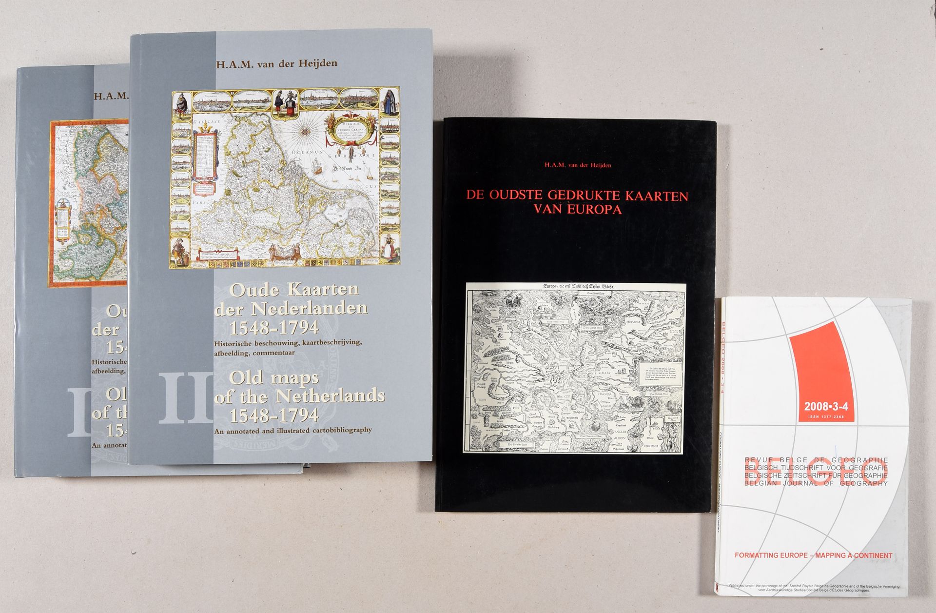
VAN DER HEIJDEN, H.A.M. Oude kaarten der Nederlanden 1548-1794. Historische beschouwing, kaartbeschrijving, afbeelding, commentaar. Old maps of the Netherlands 1548-1794. An annotated and illustrated cartobibliography. Alphen aan den Rijn Edit. Canaletto/Repro-Holland; Leuven, Universitaire Pers 1998 2 vol., 4to. Publ. cloth, ill. dust wr. Joined: 1. Id. - De oudste gedrukte kaarten van Europa. Alphen a.d. Rijn, Canaletto, 1992. - 2. Formatting Europe - Mapping a continent. Belgeo, Belgian journal of Geography, 2008/3-4. (4 vol.)
564
VAN DER HEIJDEN, H.A.M. Oude kaarten der Nederlanden 1548-1794. Historische beschouwing, kaartbeschrijving, afbeelding, commentaar. Old maps of the Netherlands 1548-1794. An annotated and illustrated cartobibliography. Alphen aan den Rijn Edit. Canaletto/Repro-Holland; Leuven, Universitaire Pers 1998 2 vol., 4to. Publ. cloth, ill. dust wr. Joined: 1. Id. - De oudste gedrukte kaarten van Europa. Alphen a.d. Rijn, Canaletto, 1992. - 2. Formatting Europe - Mapping a continent. Belgeo, Belgian journal of Geography, 2008/3-4. (4 vol.)